
GNSS Monitoring Systems and Surface Displacement Monitoring
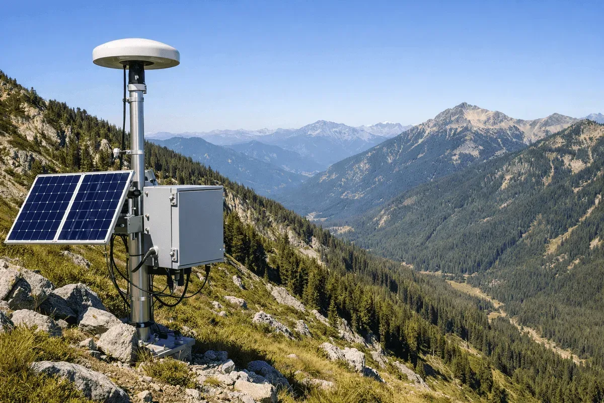
RST Ltd. is a GNSS monitoring equipment manufacturer and system integrator based in Taichung, Taiwan. We cover the whole chain — in-house GNSS monitoring equipment, on-site station installation, data processing, the GeoGuard data platform and long-term operation and maintenance — for displacement monitoring of slopes, ground surfaces and engineering structures across Taiwan. To date we have deployed more than 200 automated monitoring stations across Taiwan.
Scope of Supply and Services
- GNSS monitoring equipment supply: GNSS monitoring equipment developed in-house, revised continuously since 2023 and now in its third generation.
- Turnkey monitoring system installation: site assessment, station planning, base and monitoring station installation, data processing and platform go-live.
- Data processing and platform: long-term GNSS data processing, with results viewed on the GeoGuard Data Platform.
- O&M of existing stations: we take over operation and maintenance of stations already in place, including stations built by other vendors.
You can commission a single item or hand the whole system to us.
System Components
- GNSS monitoring stations: installed where displacement needs to be measured, receiving satellite signals around the clock.
- Base station: installed at a stable location to provide corrections that remove errors common to both stations.
- Data processing: 3D displacement resolved by near real-time differential positioning; see “Positioning and Processing Technology” below.
- GeoGuard Data Platform: receives the processed results, automatically flags quality anomalies, spikes and offsets, shows status summaries and long-term displacement trends, and supports alert rules.
- Power and communications: powered by solar panels, with data returned over the 4G mobile network.
How a Project Runs
- Requirements: clarify the monitoring purpose, target and schedule.
- Site assessment: check sky view, mount stability and the on-site environment. See our site assessment checklist.
- Plan and quotation: propose the station layout, base configuration and a quotation.
- Installation and testing: install the equipment on site and confirm data is returned normally.
- Go-live and acceptance: results go live on the platform and are accepted in the way both parties agreed. See how to validate and accept GNSS deformation monitoring results.
- Long-term O&M: ongoing processing, inspection and repair.
O&M Scope
- Regular inspection and maintenance
- Troubleshooting and repair
- Spare parts management and equipment replacement
- Data quality review
- Adding stations
- Complete maintenance records
See Equipment Maintenance for details.
What to Prepare for a Quotation
- Site location and extent
- Monitoring purpose and target (slope, bridge, levee, etc.)
- Expected number of stations, or the positions you want to monitor
- Sunlight and 4G signal conditions on site
- Planned monitoring period
- For existing stations: the current equipment and its operating condition
Once you have these, contact us — incomplete information is fine for a first conversation.
Positioning and Processing Technology
Using near real-time differential GNSS positioning (NRT DGNSS Positioning) — base-station corrections remove errors common to both stations, and the monitoring station resolves its position with carrier-phase real-time kinematic (RTK) processing — we provide centimeter-level 3D displacement monitoring services.
This service resolves position from carrier-phase observations. It differs from conventional differential positioning based on pseudorange (code) corrections alone, which reaches only sub-meter to meter-level accuracy — adequate for navigation and mapping, but not for deformation monitoring of structures.
Technical Advantages
- Centimeter-level positioning accuracy
- Near real-time continuous monitoring
- 3D displacement measurement
- Long-term stability and reliability
Main Applications
- Bridge and building displacement monitoring
- Slope stability monitoring
- Dam and levee deformation monitoring
- Earthquake and land subsidence monitoring
Representative Cases
Further Reading
- Is My Site Suitable for GNSS Monitoring? A Site Assessment Checklist
- How to Validate and Accept GNSS Deformation Monitoring Results
- How Baseline Length Degrades GNSS Monitoring Data Quality
- What Is Differential Positioning? RTK, PPK, PPP and Static Compared
More topics are collected in Insights.
Frequently Asked Questions
What is the positioning accuracy of the GNSS monitoring system?
Our GNSS system enables 3D displacement tracking with positioning accuracy of 1-2 cm horizontally and 2-3 cm vertically. It receives all-constellation dual-frequency signals and is suitable for long-term continuous displacement monitoring of structures such as bridges, slopes, and dams.
Can GNSS monitoring operate around the clock?
Yes. The GNSS system is designed for 24/7 uninterrupted operation, unaffected by weather and lighting conditions. The system features automated data transmission and anomaly alerts, and can be paired with the GeoGuard platform for real-time monitoring.
What types of monitoring projects is GNSS suitable for?
GNSS is particularly suitable for displacement monitoring projects requiring centimeter-level accuracy, including bridge and building displacement, slope stability, dam and levee deformation, and long-term observation of earthquakes and land subsidence.