UAV Aerial Services
Services
Service Content
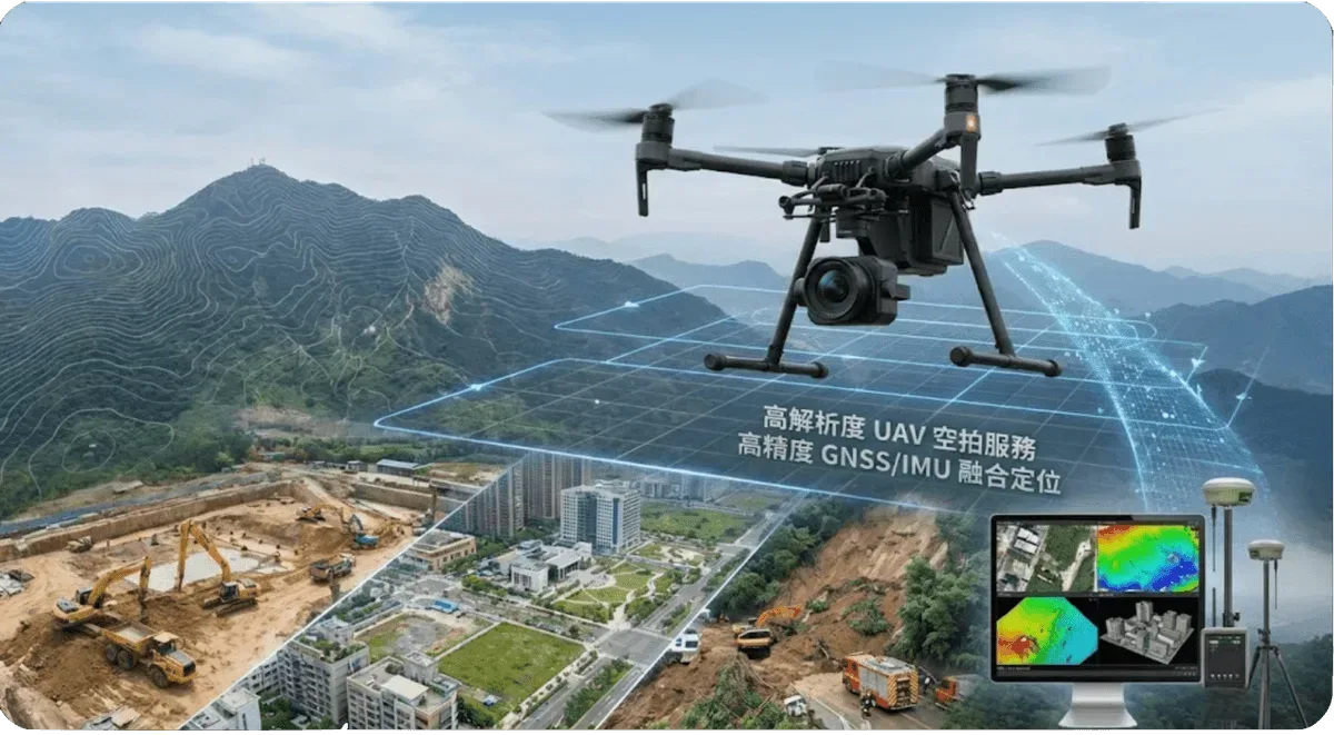
We provide professional drone aerial photography services, combining advanced image processing technology to provide customers with high-precision terrain data and monitoring solutions.
Main Applications
- Terrain mapping and 3D modeling
- Engineering progress monitoring
- Environmental change survey
- Disaster assessment and response
Technical Advantages
- High-resolution image capture
- Rapid deployment and data acquisition
- Multispectral image analysis
- Real-time data processing and analysis
Frequently Asked Questions
What are the applications of UAV aerial survey services?
Our UAV aerial survey services are widely applied in terrain mapping and 3D modeling, construction progress monitoring, environmental change investigation, and disaster assessment. High-resolution imagery and rapid deployment effectively improve the efficiency and accuracy of engineering surveys.
What is the image accuracy of UAV aerial surveys?
We use professional-grade drones with high-resolution cameras, achieving centimeter-level ground resolution. Combined with ground control points and post-processing techniques, the accuracy of orthophotos and digital terrain models meets engineering survey requirements.
How long does a UAV aerial survey take?
It depends on the area and terrain complexity. A small site (several hectares) typically requires half a day of fieldwork, with 3-5 business days for post-processing and deliverables. Larger sites or projects requiring multiple flights are scheduled based on individual assessment.